geopandas.clip
-
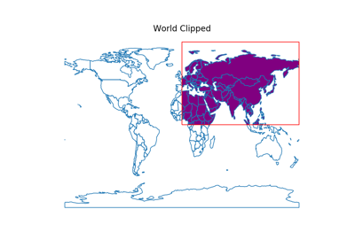
geopandas.clip(gdf, mask, keep_geom_type=False)¶ Clip points, lines, or polygon geometries to the mask extent.
Both layers must be in the same Coordinate Reference System (CRS). The gdf will be clipped to the full extent of the clip object.
If there are multiple polygons in mask, data from gdf will be clipped to the total boundary of all polygons in mask.
- Parameters
- gdfGeoDataFrame or GeoSeries
Vector layer (point, line, polygon) to be clipped to mask.
- maskGeoDataFrame, GeoSeries, (Multi)Polygon
Polygon vector layer used to clip gdf. The mask’s geometry is dissolved into one geometric feature and intersected with gdf.
- keep_geom_typeboolean, default False
If True, return only geometries of original type in case of intersection resulting in multiple geometry types or GeometryCollections. If False, return all resulting geometries (potentially mixed-types).
- Returns
- GeoDataFrame or GeoSeries
Vector data (points, lines, polygons) from gdf clipped to polygon boundary from mask.
Examples
Clip points (global cities) with a polygon (the South American continent):
>>> import geopandas
>>> path =
>>> world = geopandas.read_file(
...     geopandas.datasets.get_path('naturalearth_lowres'))
>>> south_america = world[world['continent'] == "South America"]
>>> capitals = geopandas.read_file(
...     geopandas.datasets.get_path('naturalearth_cities'))
>>> capitals.shape
(202, 2)
>>> sa_capitals = geopandas.clip(capitals, south_america)
>>> sa_capitals.shape
(12, 2)